
The EU Observatory for Deforestation and Forest Degradation
As deforested areas increase globally, the EU is stepping up its fight with a new law.
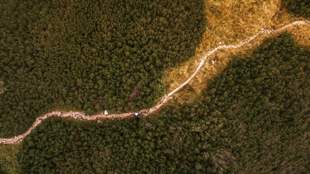
Forests are precious ecosystems with multiple functions: they produce clean air and oxygen, remove carbon from the atmosphere to store in land, produce wood, retain water flows, and prevent soil degradation. Not only are they home to flora and fauna, but they are essential to humankind. Their climate mitigation role, particularly as a carbon sink, is crucial for reaching climate neutrality while helping to regulate humidity and temperature on Earth.
Unfortunately, as human and climate pressures increase, the resilience of our forests, which make up 31% of our land, declines.
Between 2015 and 2020, 10 million hectares of forest land were lost per year, which is the equivalent of 26 football fields per minute (Vancutsem et al., 2021; Bourgoin et al., 2024).
Forest preservation is a complex issue, and we can only face it with the help of science for policy. The EU Deforestation-free Products Regulation (EUDR) is a new law that will come into effect in December 2025. It will fight deforestation and forest degradation while calling on the EU consumer society to take responsibility. Seven commodities, including cattle, cocoa, coffee, palm oil, soya, rubber, and wood, are subject to due diligence when placed on the EU market or exported by a Member State.
Due diligence requires, among other things, geolocation of sourcing areas, and if sourcing areas were forests in 2020, these commodities and associated products would be prohibited. The EU wants to ensure its consumption no longer contributes to deforestation and foster transparent and sustainable supply chains.
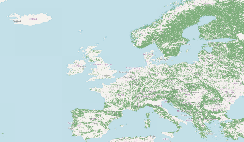
The implementation of this Regulation (EU) 2023/1115 requires datasets, tools, and methods for stakeholders. The Joint Research Centre (JRC), the scientific arm of the European Commission, set up the EU Observatory on Deforestation and Forest Degradation (EUFO), where global datasets of scientific nature can be explored. The EUFO includes the Global Forest Cover map for 2020, corresponding to the cut-off date of the EUDR. This map is a globally consistent and harmonised spatial representation of forest presence, or absence, derived from global data layers at 10 metres spatial resolution and documented by Bourgoin et al. (2024). The definition of ‘forest’ on the map follows the EUDR. The map has an overall accuracy of 91% and is freely available. The JRC will update this map based on user feedback and newly available data layers with a global scope. Although not legally binding, this map can support risk assessment in the due diligence exercises to be carried out by operators and traders under the EUDR.
In addition, the JRC also collaborates with scientific partners from all over the world on EUDR-related topics, in particular the mapping of forest types related to the EUDR definition of forest degradation, an even more challenging task than mapping forest cover. We expect that the combined use of Earth observation and Artificial Intelligence will improve and enrich the current analysis.
We are prepared for the EU Deforestation landmark law to come into effect at the end of 2025. More science for policy information at the EUFO is used in a multilateral, international context, such as the global land use carbon fluxes for the second Global Stocktake of the Paris Agreement.
There is an African proverb, “If you want to go fast, you go alone, but if you want to go far, you go together.” Scientists are joining forces across scales, from national to global levels, collaborating with organisations such as FAO, WRI, IIASA, or companies like Google. Let’s all work together to have a shared view with good common scientific understanding and robust mapping of our forests.