Take to the sky to see corals like never before.
Launched in 2006, the Global Airborne Observatory (GAO), formerly known as the Carnegie Airborne Observatory (CAO), is an airborne laboratory developed by Dr. Greg Asner that uses cutting-edge technology to make advanced sensor mappings of Earth. Through its Airborne Taxonomic Mapping Systems (AToMS), Asner and his team are able to map ecosystems around the world: from the Bornean rainforest where they discovered the world’s tallest tree to the tropical reefs of the Dominican Republic that helped spearhead conservation of marine areas.
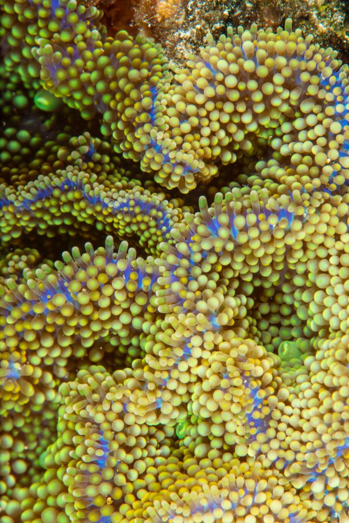
Occupying less than 1% of the ocean floor, coral reefs are home to more than 25% of all marine life. Corals are under pressure from a range of threats, from overfishing and pollution, to coral bleaching and ocean acidification due to warming global temperatures. Over 200 coral species are listed as threatened with extinction, according to the IUCN Red List, highlighting the need for efforts to protect corals as hotspots of biodiversity.
This VIEWS captures seafloor species, including corals and macroalgae, bringing to light a colorful collage of biodiversity.
Featured in