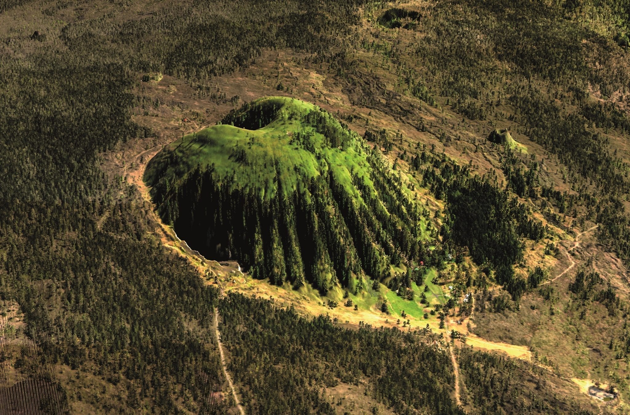
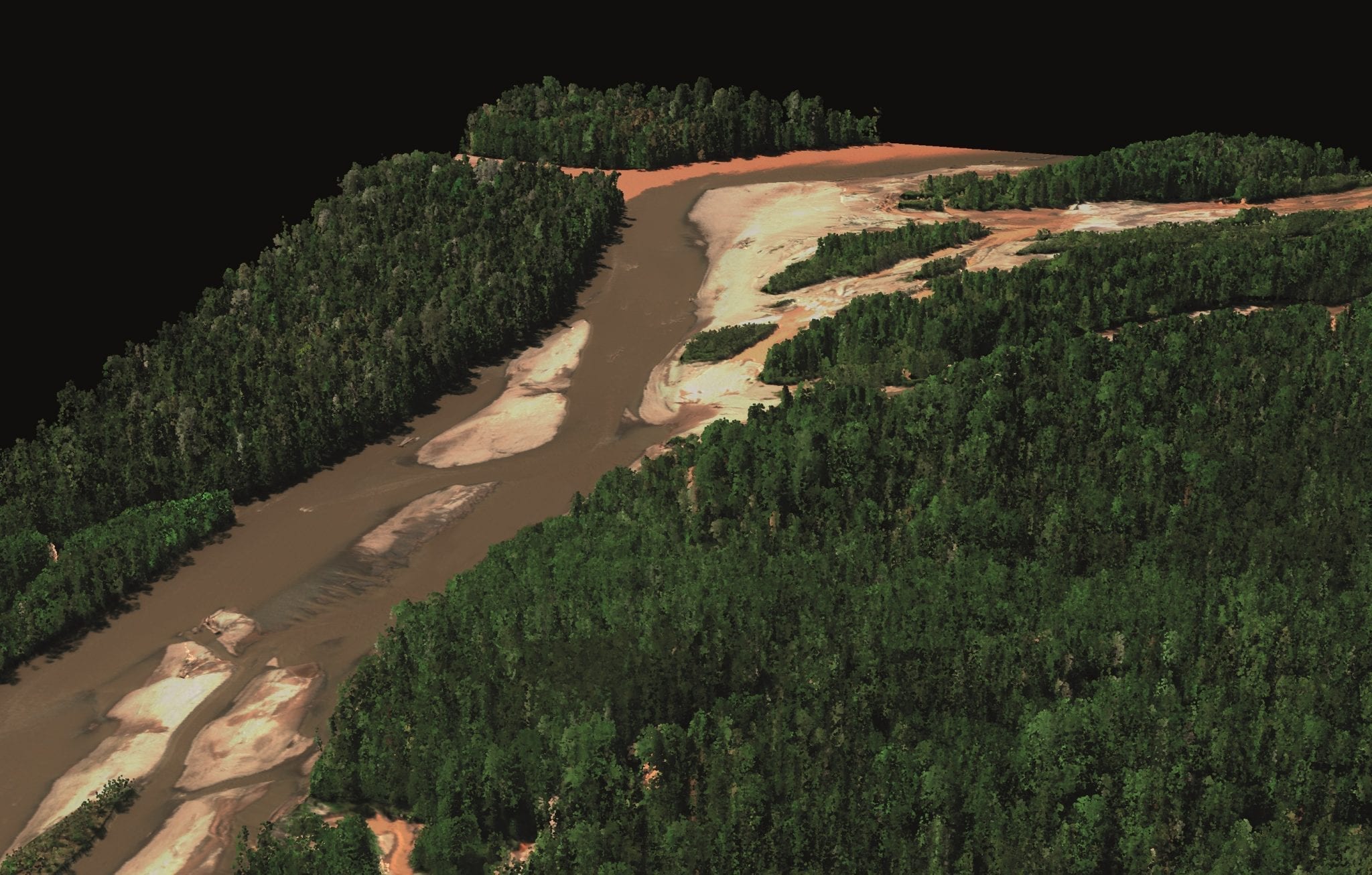
The Carnegie Airborne Observatory (CAO) is the most scientifically advanced, aircraft-based mapping and data analytics system operating in the civil sector today. First deployed in 2007, and greatly expanded in 2011 and 2015, the CAO has transformed our understanding of natural and managed ecosystems at large geographic scales, thereby supporting improved conservation, sustainable resource use, and environmental policy.
The CAO is equipped with the world’s most advanced passive-active remote sensing package. Known as the Airborne Taxonomic Mapping System, or AToMS, this system integrates a high-fidelity Visible to Shortwave Infrared (VS- WIR; 400-2500 nm) imaging spectrometer with a duallaser, full waveform Light Detection and Ranging (LiDAR) sensor that is capable of collecting 3-dimensional ecosystem data at fine spatial resolution. A single overpass of AToMS generates thousands of layers of information on vegetation, soils, topography, and animal habitat.
The CAO’s 3D imagery has served as an effective form of outreach to world leaders, conservationists, managers and everyday citizens. The CAO has demonstrated its powerful ability to deliver significant new discoveries in dozens of arenas, such as previously undetected illegal gold mining in the Amazon; animal hunting behavior in African savannas; ecological conditions promoting malaria and other diseases; undiscovered archeological sites in Hawaii; ecological imprints of prehistoric human activity in California, and much more. CAO data have been provided to thousands of organizations ranging from science to the arts, music to the fashion industry, and school children around the globe.
From 2008 to 2016, the CAO operated in Borneo, California, Colombia, Costa Rica, Ecuador, Hawaii, Madagascar, Panamá, Perú, and South Africa. The program has provided high-tech geospatial science support to private and public institutions working to conserve some of the most endangered, biodiverse ecosystems on Earth. CAO maps have played a central role in policy development at the highest levels in the host countries, and they have been centerstage in the United Nations climate change and biodiversity negotiations. The CAO program has produced more than 300 scientific publications, trained hundreds of scientists around the world, and been covered in more than 5,000 news stories.
The Carnegie Airborne Observatory is led by Dr Gregory Asner. Visit: cao.carnegiescience.edu
Featured in